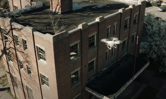
Drone UAV
With one of the largest fleets in the industry, operated by FAA-licensed pilots who are all engineers and forensic experts, Envista's drone team complements our multi-disciplinary forensic consulting services following widespread, dangerous, complex, and catastrophic property claims and litigated matters.
Whether it's at a densely populated area impacted by a hurricane or typhoon, a hazardous fire scene, a bridge collapse in a remote area, or a high-profile crime scene, Envista's UAS services utilize cutting-edge camera and sensor technologies to help you safely and efficiently collect valuable imagery evidence and perform a forensic evaluation.
When Should Drone Technology be Used for Forensic Investigation?
In many cases, drone technology can help capture critical evidence and identify complex damages in challenging locations or unsafe environments such as:
- Building or bridge collapse
- Landslide or mudslide
- CAT (tropical storms, wildfires)
- Complex fire scenes
- Mine collapses
- Structural damage
- Wind turbine failures
Envista's drone capabilities provide our clients with:
- Visual/RGB imagery capture
- Thermal imaging or infrared technology (IR) to detect temperature variance of a structure during the inspection
- A 360-degree site scan with Matterport technology to identify complex dimensions and develop accurate drawings
- Contour mapping to find elevation changes across an area for drainage or slope
- In-depth reporting capabilities through high-end, innovative software
Our FAA-Licensed Pilot Engineers
Our drone forensics team of FAA-licensed pilots can offer consulting and analysis to clients no matter where they are located. Our pilots are also our engineers, so they know where to look and what to look for to process claims as quickly as possible.
Please visit our expert directory.


